Greenways in Corsica - The best bike and hiking trails on the island
If you like to go by bike or as a hiker and have already tried a greenway, you will appreciate it and will always try to find one again in new regions. This was also the case during the hiking in Corsica. Because we wanted to walk through the island from the most southern point, thus from Bonifacio up to the city Bastia located at the north. So our first question was: "Are there greenways in Corsica?"
During our research on the internet we found quite ambivalent and ambiguous information about it. Every now and then we discovered reports about the fact that the hiker or cyclist had been on a greenway. But we found no official information, no maps and no directions. So we had no choice but to find out the answer ourselves.
What are greenways?
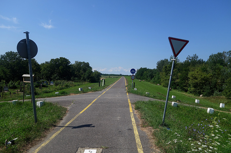
For those of you who don't know them yet, here is some brief information about greenways in advance."Greenway" is an internationally valid term for particularly good cycle paths, which can also be used for hiking, skating and the like. Sometimes we have even seen travellers on Segways, scooters or micro scooters. In fact there is not only a good density of bicycle shops and repair shops along the greenways today, but also scooter shops, skate shops and the like. Because the special thing about the Greenway is that a cycle path must meet certain requirements to be allowed to call itself a Greenway.
This includes, among other things, that it must run predominantly off normal roads and have a good floor covering, such as asphalt, paving stones or water-bound surface. Especially many such roads can be found in the Czech Republic, but also in Austria, France, Italy and Great Britain. In France, however, they are called "Voie Verde" and in Italy "Camino Verde", which again means Greenway. But in these countries the English language is just not as good.
What makes a greenway?
Most greenways in Europe run on former railway lines that have been closed down. By their very nature, they offer most of the conditions for a great cycling and hiking trail. They are mostly flat or at least flat, so they are pleasant to ride on. Especially in mountainous regions, they offer a level of comfort that would be unthinkable for cyclists and hikers in our society without the former railway structure. They run over valley bridges and through tunnels. If they lead through hilly landscapes, the routes were usually straightened by embankments or depressions.
They are also off the beaten track, but still always pass through all the important points of a region. The entire subsoil already exists and therefore only needs to be asphalted or otherwise paved. This makes it much cheaper to build a cycle path on an old railway line than it would normally be. Since there are additional subsidies from the European Union for the development of a greenway, one sometimes wonders why there are still former railway lines that have not been developed into an optimal cycle path.
Of course, it is not possible everywhere to lay the bike path along such a railway substructure, which is why many greenways also run in parts on smaller and larger roads and field paths.
Are there greenways in Corsica?
To our great regret, we had to realize on the very first day: "No! They don't exist!" There are optimal conditions all over the island, such as a disused railway line. This runs along the whole length of the east coast, but unfortunately it was never made into a cycle path. Instead, as a walker or cyclist, one has in many areas no other possibility than to take the T10, thus the big coastal road. And unfortunately, this road is absolutely horrible! Just to get a feeling for it: Corsica has about 300.000 regular inhabitants. Theoretically, the population density is therefore about 30 inhabitants per square kilometre. Practically, however, there are another 3 million people who have their main residence on the French or Italian mainland and have a holiday home on the island.
And then there are again at least as many tourists who only go to Corsica for holidays or fly and stay in one of the many hotels. If one considers that most of them arrive by ferry and therewith with their own car, while the rest afford to rent cars to see something of the island, then you can imagine how it is on the few roads. But despite of all this, one should not forget that approximately 80 % of the island consists on impassable mountain slopes and steep cliffs. This means that this unimaginable mass of people has almost no place to avoid each other. And you, as hikers or cyclists, are right in the middle of it...
The optimal cycle and hiking path in the east of Corsica
The good news is that, despite everything, there is a possibility to make a long-distance walk or a bicycle tour around the island so that you can enjoy it and still admire the beauty of nature in Corsica. Unfortunately this is not possible over the entire length of the island. Those who arrive in Bonifacio as we did and from there want to go further north in direction to Bastia will have a little hell trip on the first 50 km. Here, there is simply no alternative but to struggle through the forest with a machete.
Unfortunately, the section between Bonifacio and Porto Vecchio is one of the quieter ones, although it may be hard to believe. Between Porte Vecchio and Tremo, there are always some short-term alternatives, but they hardly improve the situation. Here, there is simply so much traffic that one cannot shake it off, no matter which way one chooses. Thereby, one can repeatedely have a look to the old railway line that is so beautifully even and oftenly with a sufficient distance to the road. Unfortunately, it is completely overgrown and not even in the beginning accessible. On the contrary, it was even bought by private persons again and again and built up with houses.
Suitable secondary roads
Only between Solenzara and Travo it was then developed into a small, little frequented side road. From here on it can be seen as a kind of greenway and meander northwards, partly on the railway road and partly on other side roads, until just before Bastia. Thereby, there are some passages where one has to climb up the mountain relatively steeply. But also this is worthwhile, as one gets a great view as also a feeling for the original life in Corsica for this.
Here we have drawn you once the exact route, which we have taken on our Corsica hike and which appears to us also in retrospect as the most sensible and most pleasant variant.
If you have any suggestions for improving the route, please let us know!
Alternative to the greenway: hiking on the GR. 20
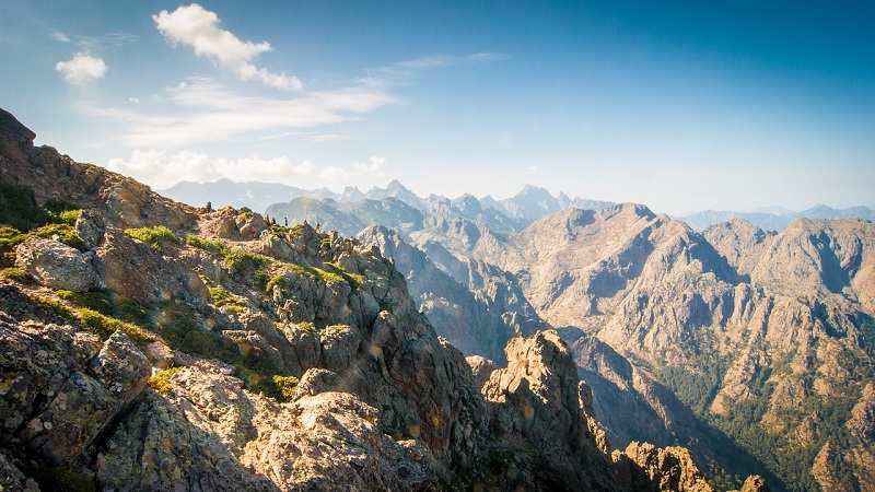
Those who are a little more flexible and can also tackle some steep and stony passages, as they only hike with a backpack and are good on foot, for those who want to do so, there is also the Gr. 20 that leads right through the mountains in the centre of the island. It consists mainly of trails and mountain paths and is therefore unsuitable for cycling or pilgrim carts. But for the effort one gets to see the most beautiful spots of Corsica here.
For overnight stays there are repeatedely small hiking hostels in the villages at the wayside, in which one can partly also stay overnight very cheaply in group sleeping rooms. If one wants something like that, of course. For those who want to know more about Gr. 20, we have put together some more information here. Here you can find a helpful overview map for Gr. 20. And here is an overview of the individual daily stages of the trail[amazon box="3850268373" title="KOMPASS Wanderführer Korsika-Weitwanderweg" description="Auf dem GR20 quer durch Korsika: Wanderführer mit Tourenkarten und Höhenprofilen" ]
Information on the most beautiful hiking trails in Corsica
Like most of the islands, however, Corsica is particularly suitable for short and day hikes or bike tours. Here again the island offers a lot. If this is what you are looking for, you can have a look at the following list of links and books.
[amazon box="399044400X" title="Wanderkarte Korsika Nord" description="Eine GPS-genaue und aktuelle Karte zur einfachen Orientierung mit lesefreundlicher Optik im idealen Maßstab von 1:50.000" ]
[amazon box="3990444018" title="Wanderkarte Korsika Süd " description="Eine GPS-genaue und aktuelle Karte zur einfachen Orientierung mit lesefreundlicher Optik im idealen Maßstab von 1:50.000" ]
[amazon box="376334280X" title="Korsika: Die schönsten Küsten- und Bergwanderungen" description="Der Rother Wanderführer »Korsika« stellt 85 herrliche Küsten- und Bergwanderungen vor." ]
[amazon box="3990442295" title="KOMPASS Wanderführer Korsika" description="Wanderführer mit Extra-Tourenkarte 1:125.000, 80 Touren, GPX-Daten zum Download" ]
The slogan of the day: Where there is a will, there is a way!
Height difference: 250 m / 270 m / 390 m / 180 m / 450 m /360 m daily distance: 32 km / 27 km / 35 km / 36 km / 31 km / 25 km 1. stage finish: Rectory, Porto Vecchia, Corsica, France 2. stage destination: Private guesthouse, Sainte-Lucie-de-Porto-Vecchio, Corsica, France 3. stage finish: Hôtel des Nacres, Porto Vecchia, Corsica, France 4. stage destination: private guest room, Aléria, Corsica, France 5. stage destination: Private caravan, Canale-di-Verde, Corsica, France 6. stage destination: Church community hall, Moriani-Plage, Corsica, France
